pastlands.org
An interdisciplinary research group investigating the evolution of Mediterranean landscape
What We Do
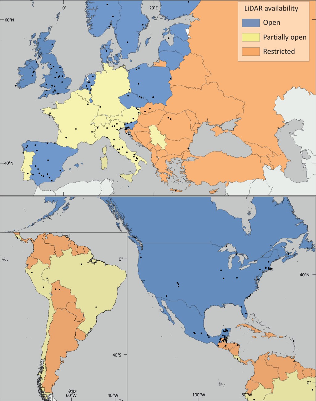
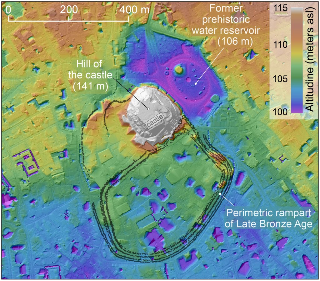
GIS & Remote Sensing
We use GIS to analyze LiDAR data, aerial imagery, and historical maps, revealing hidden archaeological and natural features with precision.
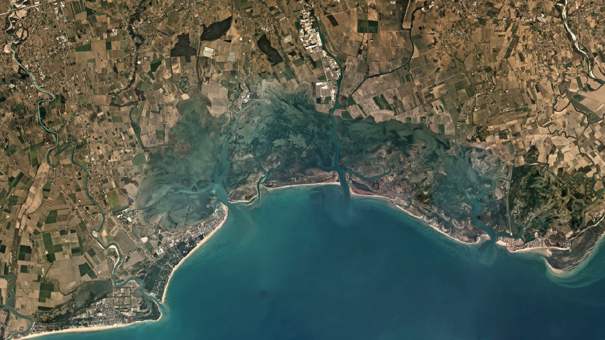
Fieldwork
From pedestrian and geophysical surveys to coring and test excavations, we investigate landscapes in detail to uncover their stories.
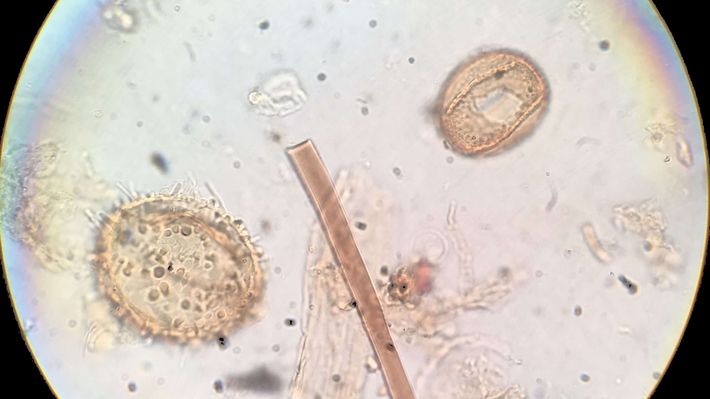
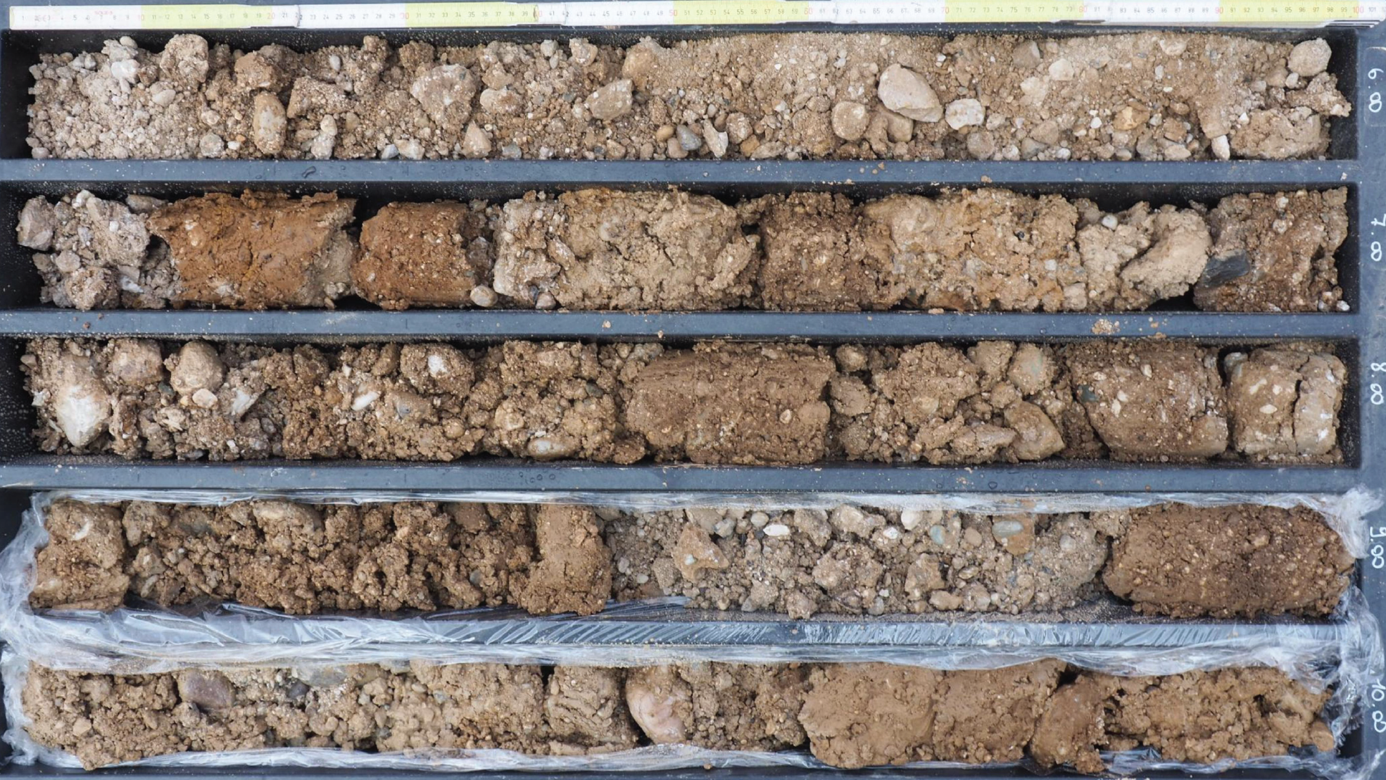
Lab Analyses
Paleoecological studies including pollen, charcoal, and seeds, offer vital insights into past vegetation and human impacts on the environment.